If you’re planning to hitch the boat this weekend, stop for a second. The Norfork Lake level isn’t just a boring number on a government spreadsheet; it’s the thin line between a trophy Bass day and ending up with a trashed prop because you hit a rock that “wasn’t there last week.”
Right now, the lake is showing some serious movement—a 110% spike in search interest doesn’t happen by accident—and here’s why this shift in elevation changes your entire game plan.
The Quick Data: Where do we stand today?
For those who are already half-dressed in camo and just want the “Go/No-Go” signal, here is the rapid breakdown:
| Metric | Current Level (ft) | Status |
| Top of Conservation Pool | 553.75 | The “Sweet Spot” |
| Current Elevation | Check Real-Time | Rising |
| Top of Flood Pool | 580.00 | Flood Stage Alert |
Expert Insight: Historically, once the level crosses the 555-foot mark, the shoreline brush—the “bushes”—gets submerged. This creates a literal playground for Largemouth Bass. But fair warning: if it rises too fast, the water gets muddy and the bite shuts down.
Why is everyone Googling Norfork levels right now?
It’s not just the rain. We are in that critical seasonal window where the US Army Corps of Engineers (Little Rock District) starts playing “Tetris” with the dam gates.
Whether you’re coming from Arkansas or you’re one of the many who accidentally typed “Norfolk Lake” into your phone—don’t worry, Google knows what you meant—you need to realize that a two-foot swing can render smaller ramps like Robinson Point or Henderson a nightmare to navigate.
The Impact on Fishing and Boating
I’ve seen too many anglers get frustrated because their GPS shows a point that’s now ten feet underwater. When the North Fork River fluctuates, the fish don’t just sit there; they react:
- Rising Water: The fish move to the banks. Look for flooded grass and newly submerged timber.
- Falling Water: The fish retreat to the main channels. It’s time to break out the deep-diving crankbaits.
Honestly—and this is something I’ve learned after years of staring at these charts—the best fishing on Norfork happens when the level is “stable and slightly high.” If you see the level jumping like a heart rate monitor in the last 24 hours, prepare for a tough day; fish tend to get lockjaw during sudden hydrostatic pressure changes.
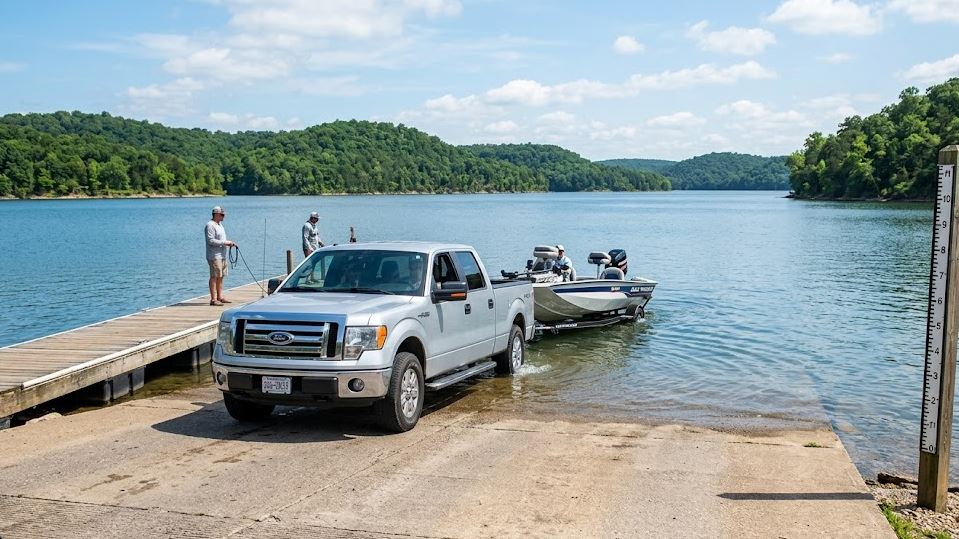
Boat Ramp Status (Updated)
There is nothing worse than driving two hours only to find a “Ramp Closed” sign. According to the latest data from the US Army Corps of Engineers Little Rock District, here is the general consensus:
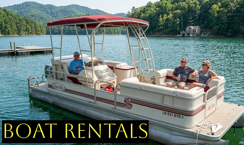
- Henderson Marina: Fully Operational (The best bet for large pontoons).
- Gamaliel Campground: Use caution if the level exceeds 560′.
- Panther Bay: The most reliable option for a quick launch.
My Verdict: Is it worth the trip this weekend?
If you want my unfiltered opinion… Yes, but stay sharp. The current trend shows the lake is “hot” right now. There’s enough water to cover the honey holes, but not so much that you’re dodging floating logs every five minutes.
Just make sure you double-check the Norfork Lake water level one last time before you lose cell service. The Ozarks are unpredictable—kind of like a Google algorithm update—and what looks like a glass mirror today can be a completely different beast tomorrow.
Quick Navigator FAQ:
The official “Power Pool” is 553.75 feet above sea level.
As long as you stay away from the Dam area and keep an eye out for submerged debris, you’re golden.
The only source you should trust is the official USACE Little Rock site.